TUTORIAL
Learn About Archaeology
Science & Technology in Archaeology
Magnetometry, Ground-Penetrating Radar & Electrical Resistivity
A variety of remote-sensing techniques, such as magnetometry, ground-penetrating radar, and electrical resisitivity, allow archaeologists to “see” structures buried below the surface without excavation.

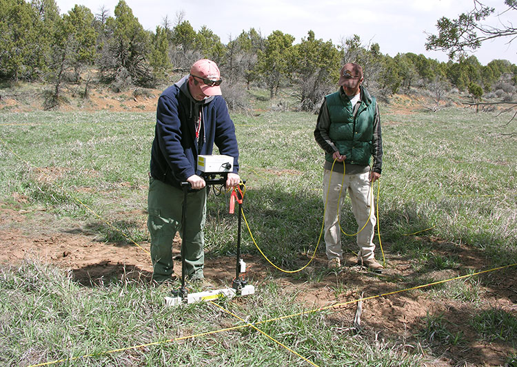
Electrical resistivity survey at an archaeological site.
Human activities that disturb natural sediments—for example, the construction of a building—cause changes to the sediment that can be detected long after all traces of the activity have vanished from the ground surface. Remote sensing (sometimes called “geophysical survey”) involves measuring subterranean magnetic irregularities or changes in the flow of electrical or radio waves through the ground to identify buried disturbances that are likely to be cultural in origin.

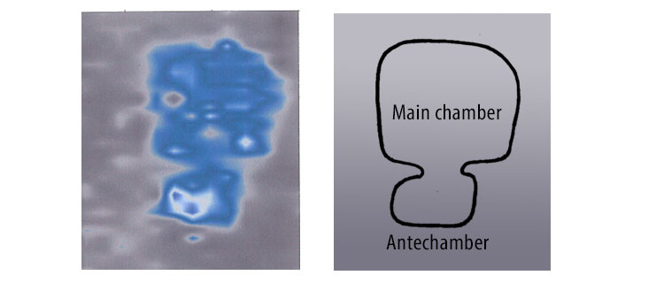
The image on the left shows a large, subterranean anomaly detected using electrical resistivity. On the right is the outline of a typical two-chamber Basketmaker pithouse. Subsequent testing of the anomaly on the left confirmed the presence of a buried structure.
Learn more:
Geophysical Survey (Wikipedia) provides an introduction to the archaeological application of different types of remote-sensing technology.
